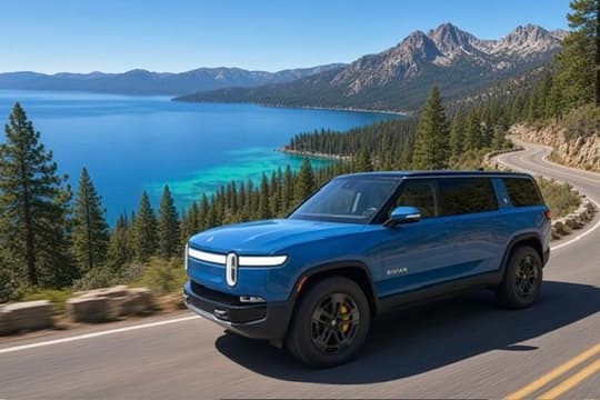
The Road to Lake Tahoe

Drive Elevated Signature Journey

002

The Road to Lake Tahoe

Two routes. Four seasons. One unforgettable arrival.

Into the Sierra

Tahoe is not somewhere you should simply arrive.

It is somewhere you should feel yourself getting closer to. Sacramento gives way to foothills. The road climbs. The temperature drops. Pine replaces pavement and suburbia. Then, after enough anticipation, the lake appears.

There is no single correct route. Choose the shore that fits your trip, begin early, and leave enough space for a coffee, a mountain town, or a view you did not plan.

The Tahoe Mindset

Choose the lake, mountains, beaches, trails, overlooks and mountain air over another ordinary hour indoors.

Best Start

Leave early. Beat Sierra traffic.

Choose First

North Shore or South Shore.

Four Seasons

Beautiful year-round. Conditions matter.

Before Leaving

Check roads, weather, charging & access.

Choose Your Approach

Three routes. Three different experiences.

These routes do not compete. The right one depends on your destination, season, schedule, and how much of the day you want to give to the road.

North Shore · Direct

I-80 to Truckee

Sacramento / Rocklin → Auburn → Donner Summit → Truckee

The clear choice when reaching Tahoe City, Kings Beach, Incline Village or Sand Harbor efficiently matters. From Truckee, CA-89 follows the Truckee River toward Olympic Valley and Tahoe City; CA-267 reaches Northstar, Kings Beach and the Nevada side.

Best for an efficient North Shore arrival
North Shore · Scenic

Highways 49 & 20

Auburn → Nevada City → CA-20 → I-80 → Truckee

Leave I-80 in Auburn for foothill curves, historic towns, forest and a gradual entrance into the Sierra. This is one of JR’s favorite sports-car routes—longer, more involving, and highly dependent on weather and road conditions.

Best when the road is part of the day

South Shore

Highway 50

Sacramento → Placerville → South Lake Tahoe → Emerald Bay

The natural South Shore approach. Gold Country gives way to canyon walls, granite, forest and cooler air before South Lake Tahoe opens the door to Emerald Bay, Fallen Leaf Lake and Heavenly.

Best for South Shore and Emerald Bay

North Shore · The Direct Way

Let I-80 do its job—but do not let it rush you.

Leave Sacramento or Rocklin early. Auburn, Colfax and the upper foothills mark the steady climb toward Donner Summit. Near Truckee, the landscape finally feels alpine.

For Tahoe City, CA-89 follows the Truckee River past Olympic Valley and into the lake basin. For Kings Beach, Crystal Bay, Incline Village or Sand Harbor, CA-267 is the more natural North Shore entry. Use current navigation and road information; mountain conditions can make the preferred route change.

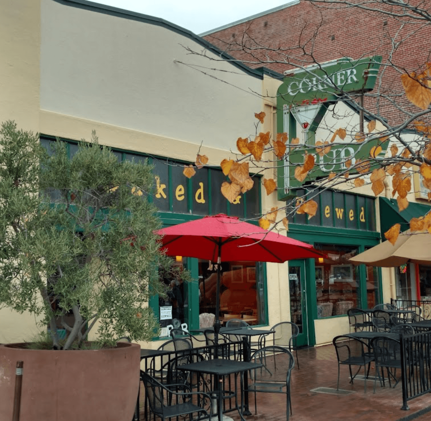
Baked and Brewed in historic downtown Auburn

Before the Climb

Baked & Brewed · Auburn

Coffee, breakfast and baked goods in Downtown Auburn's historic setting. A good place to stop before the road starts climbing.

Allow 30–45 minutes

Historic downtown Truckee in the Sierra Nevada

High Sierra

Donner & Truckee

At Donner Memorial State Park, California history and mountain scenery intersect. Continue to Historic Downtown Truckee for a final walk before Tahoe. Burger Me! is an optional tourism-supported lunch stop, not a personal owner recommendation.

Allow 30–60 minutes

North Shore · The Scenic Way

A favorite sports-car road, when the mountain agrees.

From Auburn, CA-49 reaches Grass Valley and Nevada City before CA-20 turns east. The road winds through foothills, forest and mountain communities, reconnecting with I-80 near the high Sierra.

In the Corvette or BMW, the pleasure is precision and open air—not speed. Drive within sight distance, expect cyclists and changing surfaces, and let faster traffic pass safely.

Weather Decides

This route can be inappropriate in winter or severe weather. Snow, chain controls and closures override the itinerary. AWD does not remove winter risk.

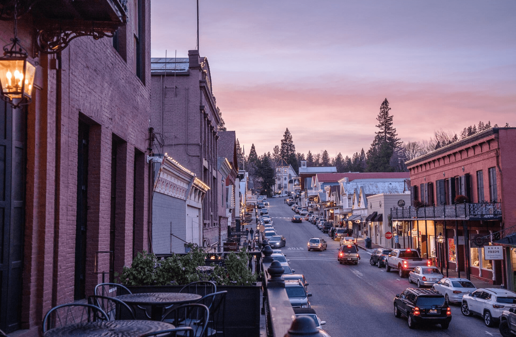
Nevada City along the scenic North Shore Tahoe route

Scenic Route Pause

Nevada City

Park and walk. Historic, artistic and distinctly different from the surrounding foothills, the town creates a useful pause before Highway 20 enters the trees.

Allow 30–45 minutes

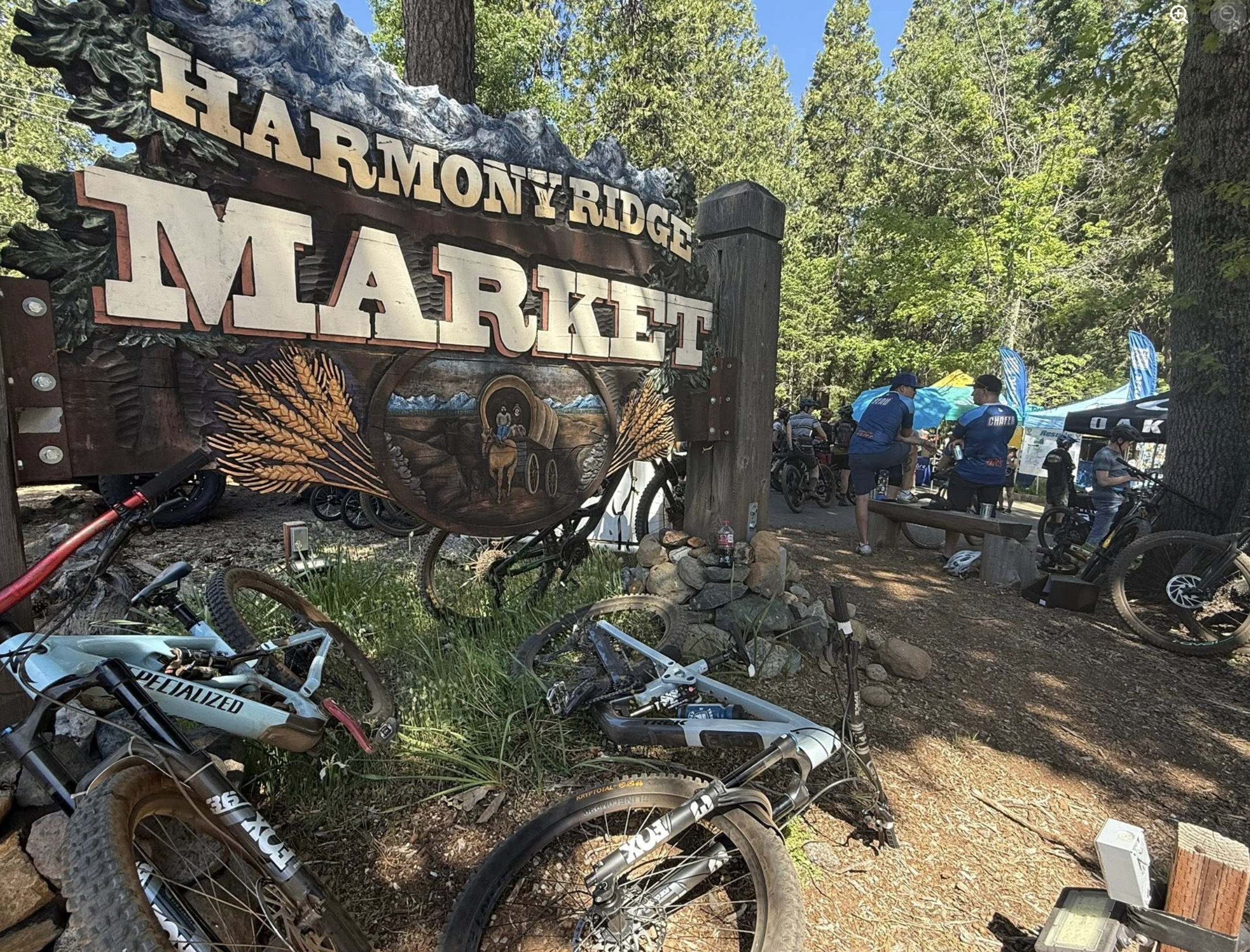
Harmony Ridge Five Mile House surrounded by Sierra forest

In the Pines

Harmony Ridge — Five Mile House

A worthwhile place to stop, stretch, eat if needed, and let the tall trees, cooler air and peaceful mountain setting become part of the trip.

Allow 20–45 minutes

South Shore · Highway 50

The landscape changes before the destination does.

Start in Sacramento—optionally with Temple Coffee from Journey 001—then follow Highway 50 through El Dorado Hills, Cameron Park and Placerville.

Historic Placerville deserves 30–45 minutes when time permits. Walk Main Street, stretch your legs and notice its Gold Rush history before continuing into canyon, granite and forest. As elevation builds, the air cools and mountain water sometimes appears beside the road. That transition deserves breathing room.

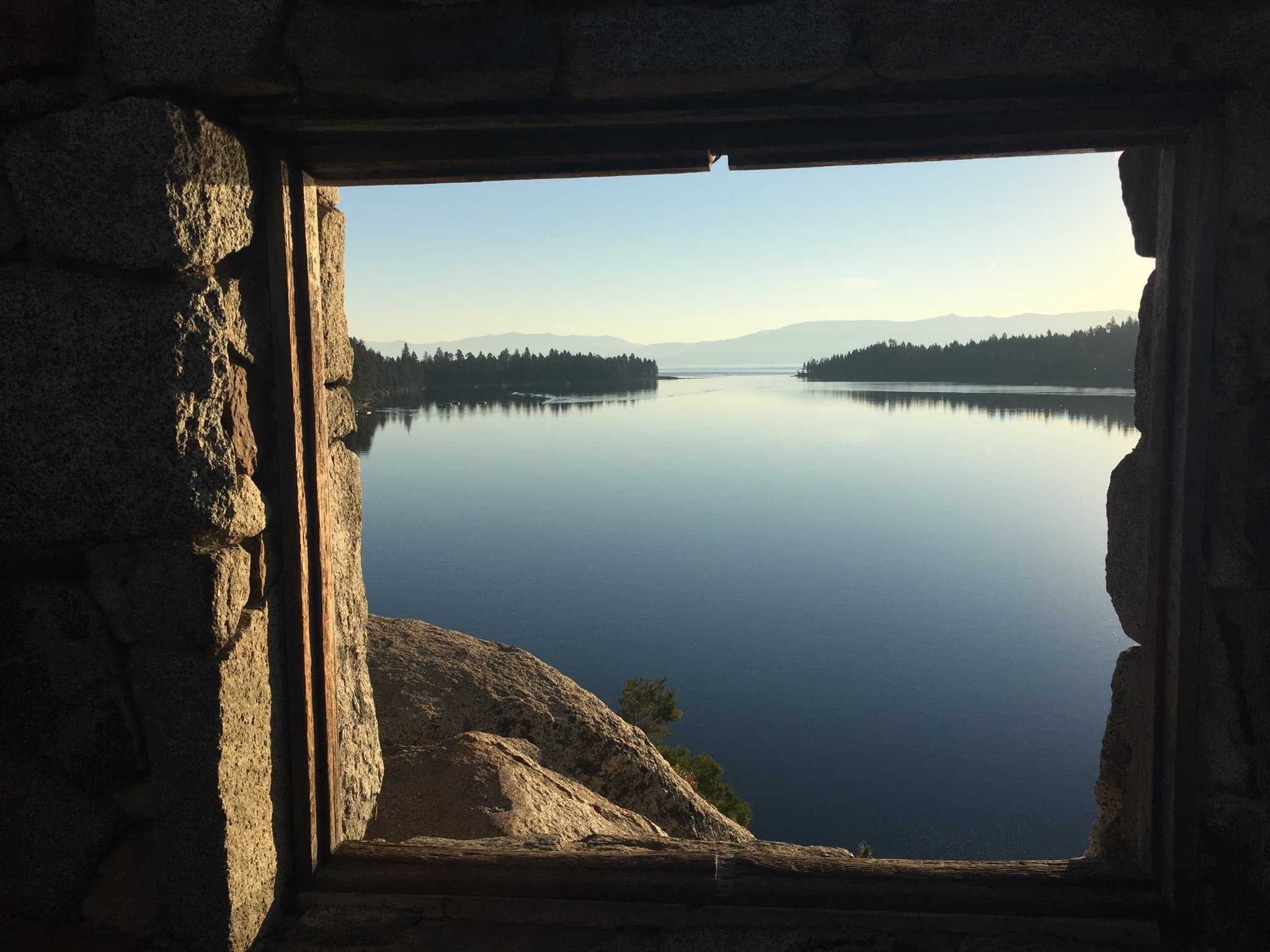
Emerald Bay seen through a stone-framed window on Fannette Island

The Non-Negotiable

Emerald Bay

If you have time for one essential first-time Tahoe experience, make it this. The water color, trees, elevation and quiet separation from the busier shoreline make the landscape feel complete.

The overlooks deliver extraordinary views without the full descent. Vikingsholm is different: the trail is about one mile each way and loses roughly 500 feet going down, which must be climbed on the return.

Parking is very limited. Arrive early or later in the afternoon when possible, and check California State Parks for current access and restrictions.

Once You Arrive

Choose Tahoe itself.

Do less, stay outside longer, and let one shore form the shape of the day.

Sunnyside on Lake Tahoe's West Shore

North Shore

Tahoe City & Sunnyside

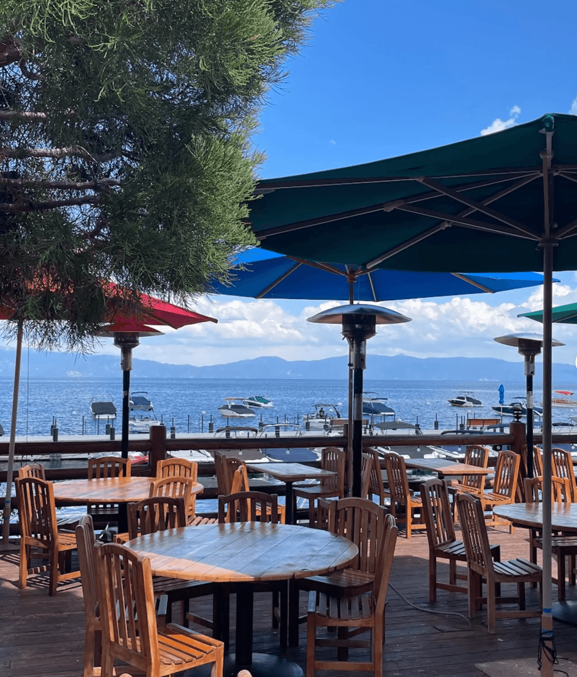
Tahoe City opens the Truckee River, West Shore and lake access. Sunnyside Restaurant & Lodge is an owner-recommended place to slow down and spend time beside the lake.

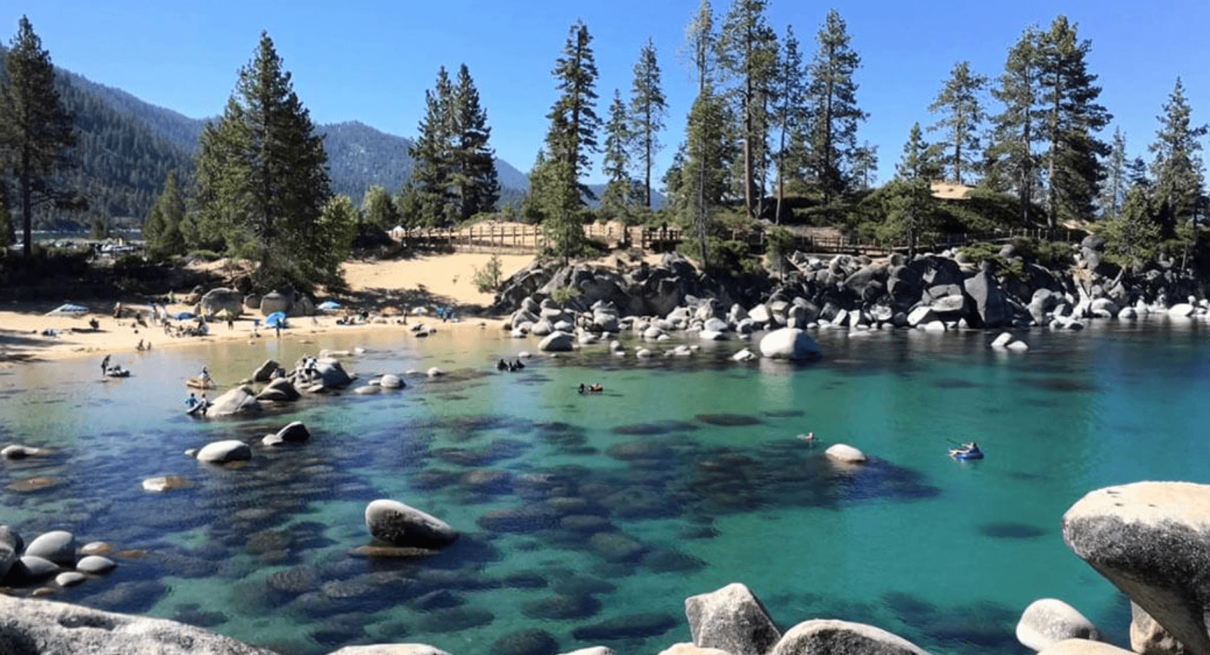
Clear water and granite boulders at Sand Harbor on Lake Tahoe

Nevada Side

Sand Harbor

Clear water, granite boulders and classic Tahoe scenery. Seasonal vehicle-entry reservations apply during peak months; check Nevada State Parks before you go.

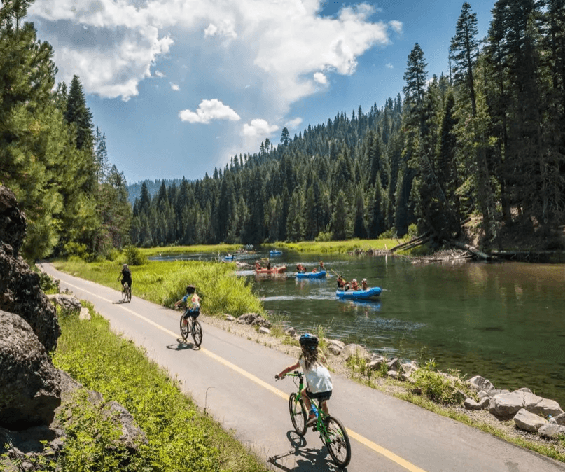
Cyclists and rafters beside the Truckee River near Tahoe City

Summer

Truckee River Float

The classic Tahoe City-to-River Ranch float is a relaxed seasonal outing, generally around two to three hours depending on river conditions. Confirm current operation and water conditions before planning around it.

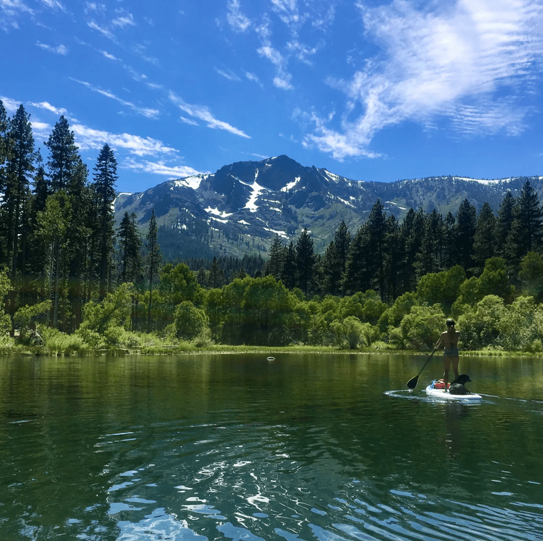
Paddleboarder on Fallen Leaf Lake beneath Mt. Tallac

Quieter South Shore

Fallen Leaf Lake

A calmer mountain setting and a different perspective from Tahoe itself. Keep it optional; the value is quiet, not another box to check.

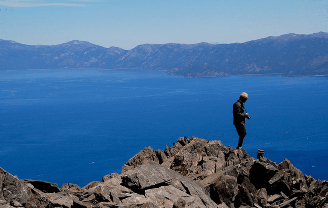
Hiker overlooking Lake Tahoe from the Mt. Tallac trail

Serious Hiker

Mt. Tallac

A strenuous, roughly ten-mile mountain day with major elevation gain—not a casual walk. Research current trail, weather, permit and seasonal conditions before attempting it.

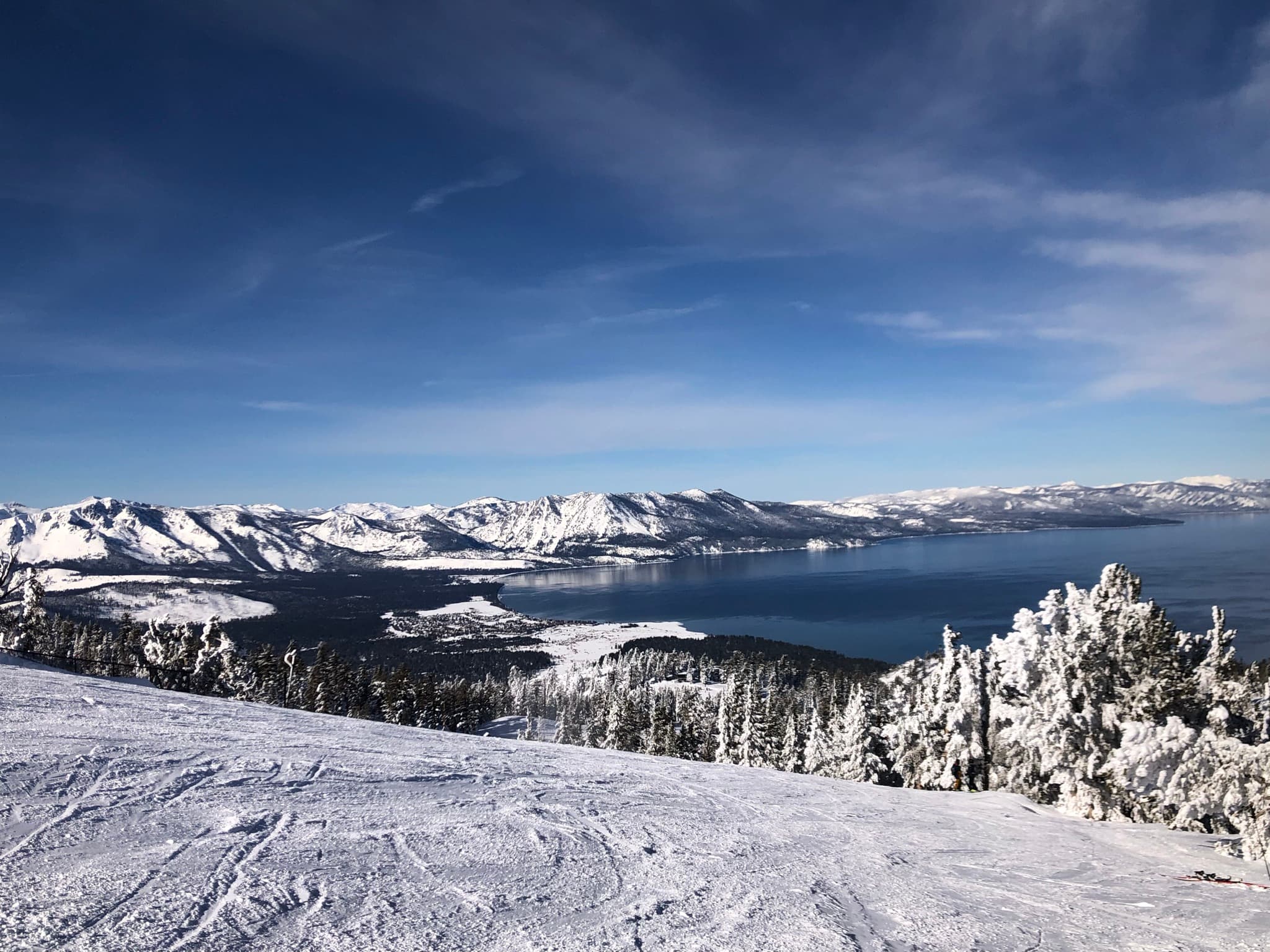
Snow-covered mountains and Lake Tahoe seen from high above Heavenly

Tahoe from Above

Heavenly Gondola

An elevated lake view for non-hikers and skiers too. Operations are weather- and season-dependent, so check Heavenly's current schedule.

One-Day Tahoe

Start early. Pick a shore. Leave room to stop.

Trying to “do all of Tahoe” in one day turns the experience into traffic and windshield time. For a first visit, build a relaxed day around Emerald Bay—or commit to a North Shore rhythm.

South Shore

Sacramento → Placerville → South Lake → Emerald Bay → optional Fallen Leaf Lake or Heavenly → dinner / return

North Shore

Sacramento → Truckee → Tahoe City → Truckee River or Sunnyside → Incline / Sand Harbor → return

The Open-Air Moment

Open the roof when the weather allows.

Put the Corvette or BMW top down, or remove the HUMMER's Sky Panels. Feel the temperature change while climbing. Smell the pine. Hear the mountain environment.

Tahoe deserves more than a windshield.

Winter

Leave very early and consider returning early. Weather changes quickly, roads close and chain controls occur. Carry a backup plan and never drive around a control or closure.

Check Caltrans QuickMap, weather, chain controls, destination operations and charging before departure. AWD does not cancel traction requirements.

Summer

Drive when everyone else is not. Early starts, flexibility and fewer fixed commitments protect the day from traffic.

Beaches, rafting, hiking, open-air driving and long daylight make summer remarkable, but access and closures can still change.

Late Spring & Fall

Cooler air, occasional lighter crowds and superb open-roof weather can make the shoulder seasons special.

Conditions are also less predictable. Check the forecast and road status before committing to the route.

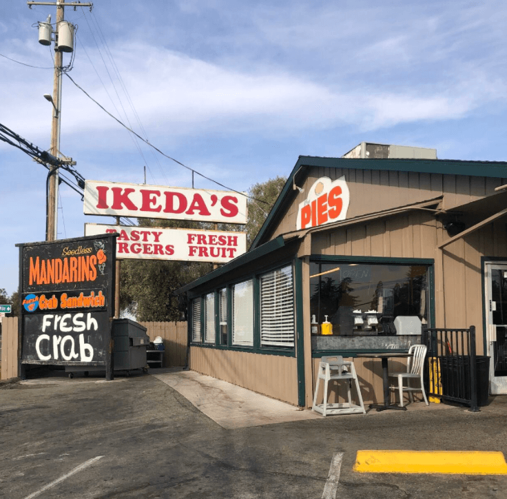
Ikeda's California Country Market in Auburn

One Last Stop · Auburn

Ikeda's California Country Market

A Drive Elevated return ritual: burgers, sandwiches, pies and a market full of interesting specialty foods, conveniently close to I-80.

JR especially likes the burgers and taking time to browse the market. It is often busy—which is part of why it works better as a flexible last stop than a rigid appointment.

From the Driver's Seat

Do not spend Tahoe indoors by accident.

If the choice is another hour browsing stores or another hour on a beach, beside the river, among the trees, on a trail or watching the lake—choose Tahoe itself.

The goal is not to say, “We saw Lake Tahoe.” It is to say, “We experienced the journey into Tahoe.”

— JR Cardoza, Drive Elevated